
I did not choose Death Valley. Death Valley was where I ended up.
I had been in Zion and a rogue cold front was coming through. The advice I got was simple: go west.
So I went west, and I arrived, and I was surrounded by gray rocks.
There were no sites left in the regular campground, so I ended up in the big parking-lot style camping area. And there was a risk of dust storms that night. I had a tent with me, and a tent was very obviously not the answer, which is how I came to spend my first ever night sleeping in my car.
It was fine. It was tight. I was traveling on my own — this was before Tootsie came along — and I pulled a chair out in the evening and sat in a gravel lot surrounded by gray rock, and I vividly remember looking around and thinking: what in the world am I doing here?
And then the sun went down
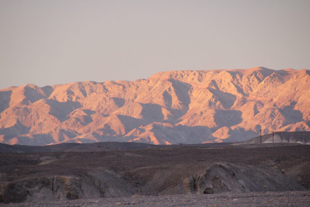
As the sun set, the rocks turned orange. Then purple. Then gold.
The same gray rocks I had been staring at all afternoon, wondering why I had bothered.
It completely turned my trip around, and it taught me something I have used constantly since: just wait. There is beauty everywhere, and quite often the only thing between you and it is an hour and a bit of patience.
I think about that gravel lot more than almost anything else from that trip.
Day two: the lowest place there is
I got a first-come first-served campsite the next day, which felt like a promotion, and I went out to see the park properly.
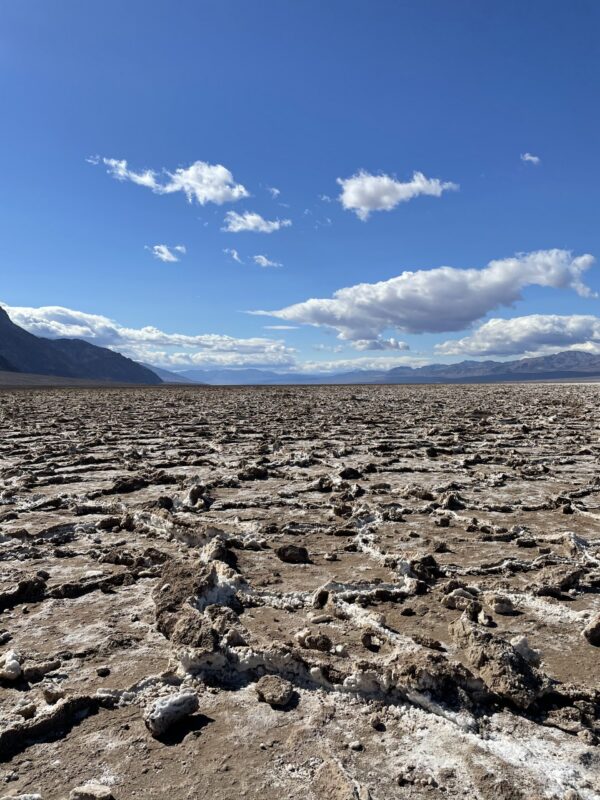
I went to Badwater Basin — 282 feet below sea level, the lowest point in North America. It was ferociously windy and the sky was a hard, clear blue, and it is one of those places where knowing the number changes what you are looking at. You are standing at the bottom of the continent.
I drove Artists Drive, the one-way loop that climbs up into the hills, where the rock is streaked green and pink and gold from the minerals in it. That is the road I had been trying to remember the name of ever since — the painted one.
And I went to the visitor center at Furnace Creek, which sits next to a proper little hub with a store in it. I was glad of that. Conditions were not great for setting up a camp kitchen, so being able to buy food was the difference between a decent evening and a miserable one.
That night there was another dust storm rolling through. So I slept in the car again.
Day three: the trail that was not a trail
On my third day I went out hiking. I did not have a map for this one. What I had was a written description somebody had given me.
I set off, and it was the strangest trail I had ever been on, and I kept going, because — well — it is Death Valley. It is all rocks. Everything looks like that.
About an hour and a half in, I realized it was not a trail at all. It had never been a trail. And I had no idea where I was.
Then my watch died.
What saved me is that I had been paying close attention on the way out. Not deliberately, not because I suspected anything. I had just been noticing things — that rock, that ridge, the shape of that gap. So I turned around and navigated back on landmarks.
It was hot. It was exposed. I started rationing my water, and I will be honest with you: I was genuinely frightened.
I got back to my car.
This is the part I want you to take from this post. Being present on that walk out is the only reason it was a bad afternoon instead of a serious emergency. I now look for landmarks on every single hike I do, constantly, whether or not I think I need to. It costs nothing and it is the cheapest insurance there is.
The two things that got me home
The first was a system my brother and I have. I text him before I get on a trail and I text him when I am off it. That day, the moment I had a signal again, I texted him.
It is a very low-tech arrangement and it works, and if you travel by yourself I would genuinely recommend setting one up with somebody. It costs two messages.
The second was a decision I made standing at my car, still shaky: I was going to buy a proper GPS watch. Solar charging, so it could not simply die on me, with tracking and safety features built in.
The next day I went to an REI and bought one.
I do not think of that as gear. I think of it as the thing I did instead of promising myself I would be more careful.
Third night is the charm
The last night, everything worked.
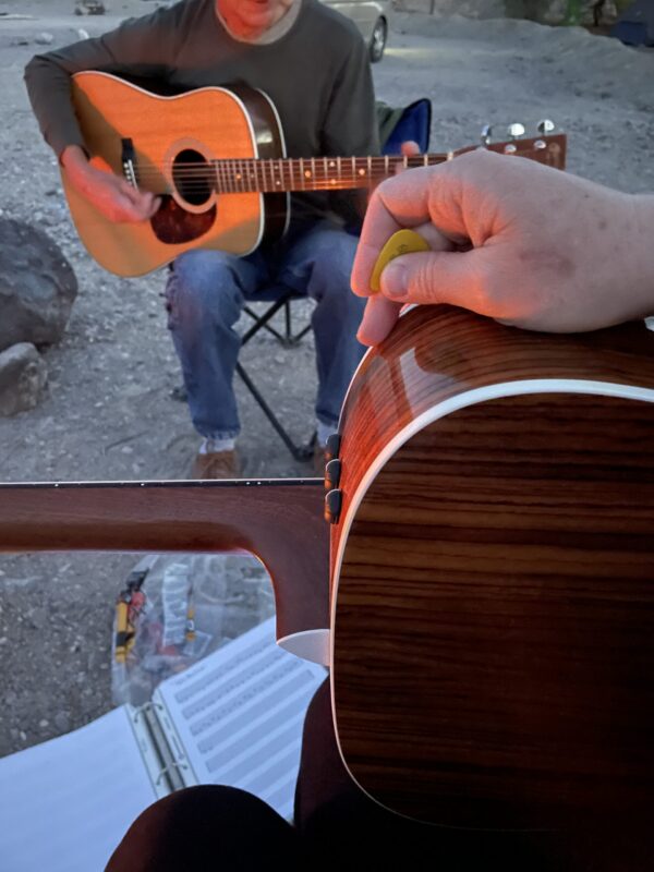
I had a campsite. I built a good fire. The people in that campground were so friendly, and my neighbor came over, and I had been learning to play guitar, so I got it out.
The two of us sat there with hot dogs and a guitar and a fire, in Death Valley, and it was one of the most surreal and lovely evenings I have had anywhere.
What I took away
Two things, and I use both of them regularly.
I learned something real about myself and about safety, and I changed how I hike because of it.
And I learned that you can find something beautiful absolutely anywhere you go, if you are willing to sit in a gravel parking lot among gray rocks long enough for the sun to get low.
Podcast connection: Episode 8 of The Parks Podcast is Death Valley.
Roads and trails in Death Valley change constantly with flood damage. Check current conditions with the National Park Service before you go — details here were verified in September 2026.
Plan your visit
Entry: Charged per vehicle, with lower rates for motorcycles and for anyone on foot or bike, good for 7 days. Check the current rates before you go. The America the Beautiful pass covers it. The park does not take cash — card or digital payment only.
Size: 3.4 million acres — the largest national park outside Alaska. It takes real driving time to get between the things you want to see. Plan fewer stops than you think.
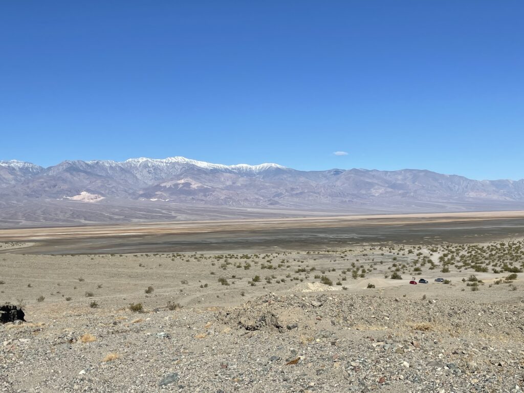
The range: Badwater Basin sits 282 feet below sea level. Telescope Peak, visible from it, is 11,049 feet. That is the biggest vertical relief in the lower 48, and it is why the weather does what it does here.
Furnace Creek has the visitor center, a store and a hub of services. If the weather turns and cooking is not happening, that is where you go.
Camping: some campgrounds take reservations and some are first come, first served. The overflow-style areas are gravel lots rather than pitches. Worth knowing before you arrive rather than after.
Check conditions before you drive anything. Flood damage closes roads here regularly and for a long time. As of late 2026 the road to Darwin Falls, the park’s one real waterfall, is washed out in places and is not expected to reopen until 2027 — you can walk in from the highway, but you cannot drive it.
Dust storms are a real thing. Twice on my trip they were forecast, and twice I slept in the car rather than a tent. Have a plan that is not a tent.
What to pack & wear
A tank top and a winter coat, and you will use both in the same 24 hours. I was there in April and that was genuinely the range — shirtsleeves in the afternoon, a proper coat after dark. The desert gives all its heat back the moment the sun goes.
More water than you think, and then more again. Not in the car. On you.
A paper map, and a plan for when your battery dies. Mine died. Do not let a watch or a phone be the only thing that knows where you are.
Tell somebody. Before the trail and after the trail. It is the cheapest safety equipment there is.
A camp chair. The sunset is the main event and you want to be sitting down for it.
Pets
Tootsie was not with me on this trip, which in hindsight was lucky, because Death Valley is a hard place to bring a dog.
Leashed dogs are allowed in campgrounds and developed areas, on paved roads and within about a hundred yards of them, and on the backcountry roads — of which there are hundreds of miles. They are not allowed on trails at all.
So the walking is roads, not paths, and that is the whole offer.
And then there is the heat, which is not a footnote here. Pavement and sand can burn paws fast, midday sun is intense even in winter at these elevations, and you need roughly a gallon of water per dog per day. If you are coming with a dog, come in January or February, and build the day around shade and water rather than around what you wanted to see.