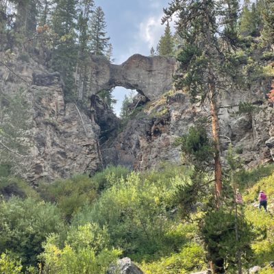
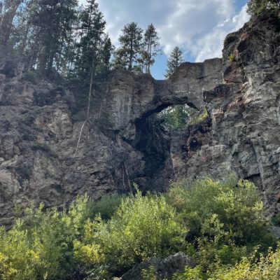
I love this trail! You have two parking options – one off of the main road and the other at the marina. The marina option has more spaces.
The trail is along a service road. It’s wide and has a slight incline, but not at all strenuous. I parked at the Marina and took the trail along the perimeter of the campground and into the woods. Nearly .7 mile in you met up with the other trail and then continue to the right towards the bridge.
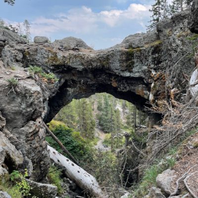
Once you arrive at the bridge, you only walk a few steps off the trail before you can see the bridge. They have nice seating options to enjoy the bridge from this spot. The other option is to hike to the top of the bridge. This option is a bit more strenuous hike up several switchbacks. It may leave you a little breathless, but you are at 7700ft elevation.
When you arrive at the top you get a great view. You can also select to take the trail off to the right, down a few stone steps for an amazing view through the bridge.
I saw chipmunks, squirrels, snakes and muskrats on this trail.
Basics
Location: Yellowstone National Park (Wyoming)
Level: Beginner
Distance: 2.5 miles (additional .5 mile if you choose to hike to the top of the bridge)
Parking: You have two parking options at the two separate trailheads. One is just off of Grand Loop Road (Natural Bridge Trailhead on map). The second is a large lot off of Marina Drive (Bridge Bay Marina on map).
Bathrooms: Available in the campground. You walk through the campground if you park at the Bay Bridge Marina.
What to wear: The trail is only open during the summer. Pay attention to local weather. I wore hiking boots, but you could do it in tennis shoes. If you aren’t hiking up to the arch, you could do the walk-in sandals.
What to pack: Water, bear spray

